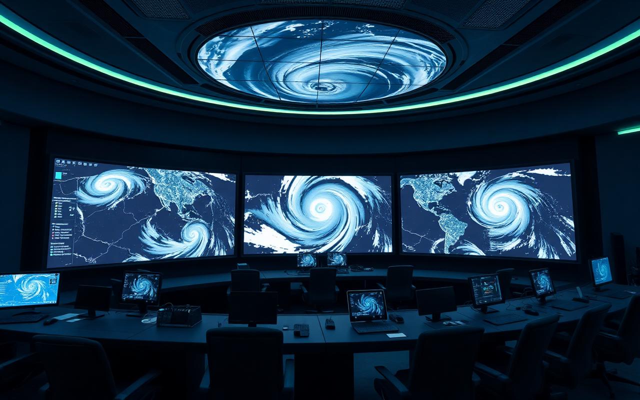
Disaster Prevention & Mgmt
Multi-hazard early-warning grids fusing sensor networks, satellite imagery and AI for cyclone, tsunami, flood and wildfire response.
Capabilities
- Sensor field networks
- Satellite imagery analytics
- Early-warning dissemination
- Inter-agency C2
- Resilient backhaul (VSAT/LEO)
- Public alerting (CBC/SMS)
- AI hazard prediction
Typical use cases
- Cyclone & tsunami warning
- Wildfire detection
- Flood forecasting
- Mass evacuation coordination
- Industrial accident response
Measured outcomes
- Earlier lead times
- Coordinated multi-agency response
- Lower casualty rates
Standards & compliance
Predictable delivery, phase by phase
Indicative programme tailored to this sector — adapted to scope, scale and regulatory context during discovery.
- 1
Phase 1 — Hazard & Risk Mapping
4–6 weeksMulti-hazard risk profile and stakeholder mapping across emergency, met and civic agencies.
- 2
Phase 2 — Sensor & Comms Design
8–10 weeksField-sensor mesh, satellite analytics pipeline and resilient backhaul design.
- 3
Phase 3 — Build & Integration
16–24 weeksSensor deploy, EWS platform integration and inter-agency C2 wiring.
- 4
Phase 4 — Drills & Validation
6–8 weeksEnd-to-end drills, public-alert testing and inter-agency tabletop exercises.
- 5
Phase 5 — Operate & Refresh
OngoingSensor calibration, model retraining and post-event lessons-learned cycles.
Explore adjacent sectors

Start your smart transformation
Talk to our integration architects. Get a tailored roadmap for your enterprise, building, or smart city project — from blueprint to 24/7 operations.